
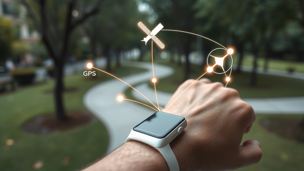
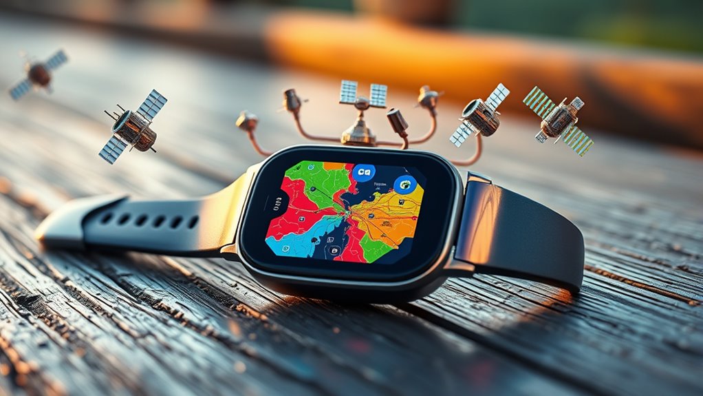
Your fitness wearable tracks your location using signals from GPS, GLONASS, and Galileo satellites, working together for better accuracy and coverage. GPS offers global coverage, while GLONASS performs well in northern regions, and Galileo improves precision overall. Combining these systems helps your device provide more reliable, faster positioning even in challenging environments. If you keep exploring, you’ll discover how these systems collaborate and what factors influence their precision.
Key Takeaways
- Fitness wearables receive signals from multiple satellites (GPS, GLONASS, Galileo) to determine precise locations through triangulation.
- Each system provides different coverage and accuracy, with multi-constellation support improving reliability in challenging environments.
- Signals include timing and orbital data, which devices analyze to calculate your exact position.
- Inter-system synchronization reduces errors and maintains location accuracy, especially in urban or obstructed areas.
- Advances in satellite tech enhance wearable navigation, ensuring more accurate, reliable fitness tracking and route mapping.
Satellite navigation systems work by using a network of orbiting satellites that transmit signals to your device. These satellite signals include precise timing information, which your device uses to calculate its position. Once your device receives signals from multiple satellites, it applies navigation algorithms to determine your exact location. These algorithms analyze the time it takes for signals to reach your device, enabling it to triangulate your position accurately. Without these signals and sophisticated algorithms, pinpointing your location would be impossible. This process runs seamlessly in the background, allowing you to navigate with ease. Whether you’re walking, driving, or exploring new areas, understanding how satellite signals and navigation algorithms work together helps you grasp the core of satellite-based positioning systems. Innovative European Cloud Servers support the secure and efficient processing of navigation data, ensuring reliable location services worldwide.
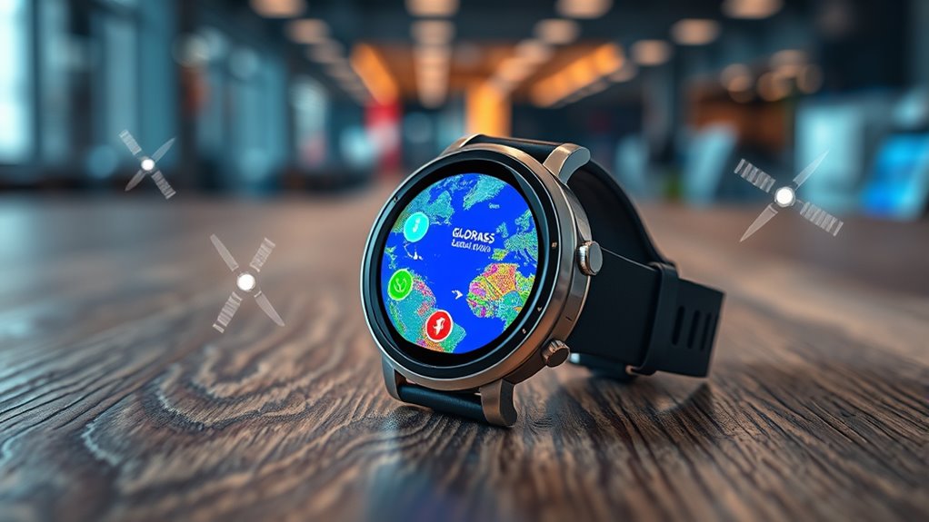
The Technology Behind GPS, GLONASS, and Galileo
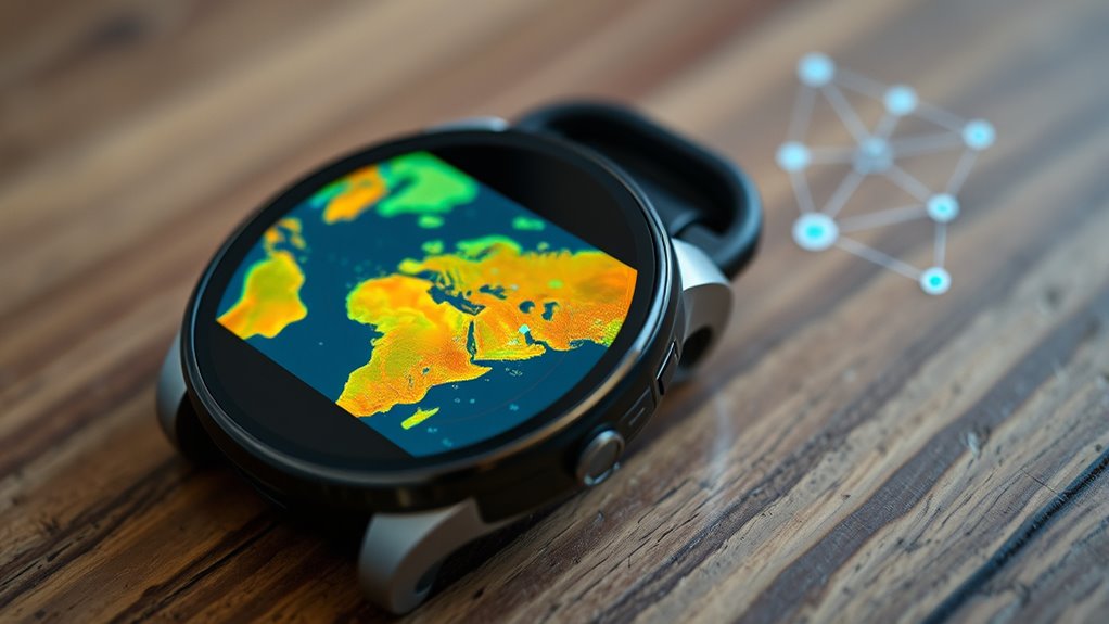
The core technology behind GPS, GLONASS, and Galileo involves a network of orbiting satellites that continuously broadcast precise signals containing timing and orbital data. Your device receives satellite signals from multiple satellites to determine your exact position. These signals include timestamps that help calculate distances based on how long they take to reach you. However, signal interference from tall buildings, dense forests, or electronic devices can disrupt this process, causing inaccuracies. To combat interference, these systems use advanced algorithms and multiple frequency bands, improving reliability. Each constellation employs different signal modulation techniques and frequencies, but all rely on precise timing and consistent satellite signals to ensure accurate positioning. Additionally, the use of high-precision clocks in satellites is essential for maintaining the exact timing required for accurate location data. This sophisticated technology allows your wearable to pinpoint your location with remarkable precision.
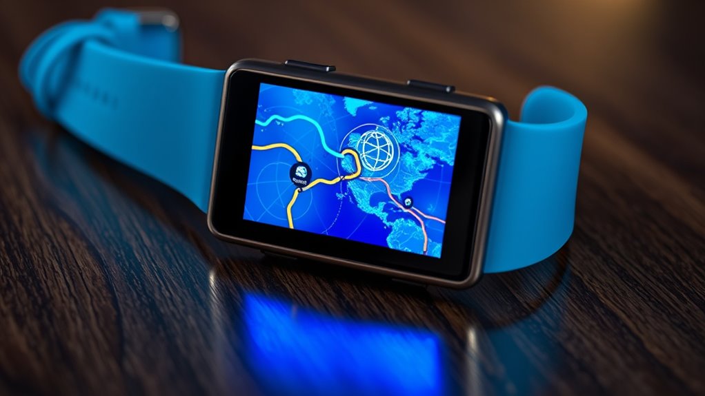
Coverage Areas and Global Reach
GPS, GLONASS, and Galileo each offer extensive coverage that enables reliable positioning almost anywhere on Earth. However, coverage limitations and regional restrictions can affect your device’s performance. GPS, primarily U.S.-based, provides global reach but may encounter signal issues in dense urban areas or tunnels. GLONASS offers broader coverage in northern latitudes, yet its signals can be less accurate in some regions. Galileo aims for global coverage with improved precision, but its full deployment is ongoing, leading to regional restrictions in certain areas. The table below highlights these differences:
| System | Coverage Limitations | Regional Restrictions |
|---|---|---|
| GPS | Signal loss in tunnels and urban canyons | Limited in some military zones |
| GLONASS | Less precise in equatorial regions | Satellite availability varies |
| Galileo | Still deploying satellites, some regions restricted | Some areas lack full coverage |
| Overall | Coverage depends on satellite constellation | Regional restrictions may apply |
Additionally, the effectiveness of these systems can be influenced by satellite constellation density and distribution, which vary based on deployment status and regional factors. A robust satellite network can significantly improve the accuracy and reliability of positioning data across all systems.
Signal Accuracy and Precision in Fitness Devices
When it comes to fitness devices, signal accuracy and precision are essential for tracking your activities reliably. Poor signal quality can lead to inaccurate distance and pace measurements, affecting your workout insights. Factors like signal interference from tall buildings, dense forests, or electronic devices can disrupt the connection. Device compatibility also plays a role, as some wearables may not support multiple positioning systems, limiting accuracy in certain environments. To improve performance, choose devices that support multi-constellation systems, which help mitigate interference and provide better signal stability. Incorporating global navigation satellite systems such as GPS, GLONASS, and Galileo can further enhance positioning accuracy for users in various locations. Being aware of signal interference and its impact can help users optimize their device settings and placement for the best results.
How Multiple Systems Work Together for Better Tracking
By combining signals from multiple satellite navigation systems, devices can substantially improve tracking accuracy and reliability. This is achieved through inter system synchronization, where signals from GPS, GLONASS, and Galileo are aligned for seamless integration. When these systems work together, your device benefits from signal redundancy, ensuring it can still determine your location even if one system experiences interference or signal loss. This multi-system approach reduces errors caused by atmospheric conditions or obstructions, providing more precise data. It also enhances reliability, especially in challenging environments like urban canyons or dense forests. The compatibility of these systems is crucial for optimal performance, as it allows your device to leverage the strengths of each network. Overall, the collaboration of multiple satellite networks creates a robust framework that delivers better tracking performance, giving you more accurate, consistent location information during your activities. Satellite navigation systems are continually evolving to improve precision and coverage worldwide.
Factors That Affect Your Wearable’s Location Data
Several factors can impact the accuracy and reliability of your wearable’s location data, especially in real-world environments. Urban canyoning, where tall buildings block signals, can cause your device to lose or misinterpret GPS signals. Atmospheric interference from weather conditions or solar activity can distort satellite signals, reducing precision. Additionally, dense foliage or indoor settings hinder satellite visibility, making it harder for your wearable to pinpoint your location. Multipath errors, where signals bounce off surfaces, also lead to inaccuracies. These factors collectively challenge your device’s ability to provide precise tracking, especially in complex environments. Understanding these influences helps you better interpret your fitness data and realize why sometimes your device might seem off or lag behind.
Future Developments in Satellite Navigation Technology
Advancements in satellite navigation technology are poised to considerably improve the accuracy and reliability of your wearable devices. In the future, augmented reality (AR) applications will become more seamless, allowing you to navigate complex environments with precise overlay guidance. Quantum computing promises to revolutionize how satellites process data, enabling faster, more accurate positioning even in challenging conditions. These breakthroughs will reduce errors caused by signal disruptions and multipath effects, making your fitness tracker or smartwatch more dependable. Enhanced integration of AR and quantum technologies will also open new possibilities for immersive navigation experiences and real-time location sharing. As these innovations develop, you’ll benefit from navigation systems that are smarter, more precise, and better suited to your active lifestyle.
Frequently Asked Questions
How Do Weather Conditions Impact Satellite Signal Accuracy?
Weather interference can cause signal degradation, affecting your wearable’s accuracy. Storms, heavy rain, or thick cloud cover can weaken satellite signals, leading to less precise location data. When weather conditions are poor, your device might take longer to lock onto signals or provide slightly inaccurate readings. To get the best results, try to use your wearable in clear weather, as it’ll maintain stronger, more reliable satellite signals.
Can Your Wearable Switch Seamlessly Between Different Satellite Systems?
Your wearable can switch seamlessly between satellite systems thanks to advanced signal switching mechanisms. However, interoperability challenges may arise, making smooth handovers tricky at times. Modern devices are designed to handle these challenges, enabling better accuracy and coverage. When the signal from one system weakens, your wearable automatically switches to another, ensuring continuous location tracking without you needing to intervene.
What Are the Privacy Implications of Using Multiple Satellite Systems?
Using multiple satellite systems can raise privacy concerns, especially regarding data security and user tracking. For example, if your fitness wearable shares location data across systems, hackers could potentially access this information, compromising your privacy. This means your movement history might be exposed or misused. To protect yourself, make sure your device encrypts location data and limits data sharing, reducing risks related to unauthorized user tracking.
How Does Satellite Signal Latency Affect Real-Time Fitness Tracking?
Signal delay can impact your fitness tracker’s ability to provide real-time data, causing slight lags in tracking precision. When satellite signals experience latency, your device might take a moment longer to update your location, which can affect the accuracy of speed and distance measurements during activities. To guarantee better tracking, your wearable relies on quick satellite signal responses, minimizing delay and keeping your data as precise as possible.
Are There Differences in Battery Consumption When Using GPS, GLONASS, or Galileo?
Using GPS, GLONASS, or Galileo impacts your device’s battery efficiency and power consumption differently. GPS typically consumes the most power due to its high accuracy, while GLONASS and Galileo can offer better battery efficiency with comparable accuracy. Combining these systems can drain your battery faster, so choose based on your activity needs. To extend battery life, disable satellite systems when precise location isn’t necessary.
Conclusion
While GPS may be the most familiar, combining signals from GLONASS and Galileo enhances your fitness device’s accuracy. Think of it as steering with a single map versus a detailed atlas—your wearable gets a clearer picture from multiple sources. Just as relying on one system limits your view, only using one satellite network can reduce precision. Embracing these technologies together guarantees you stay on track, no matter where your fitness journey takes you.