
TL;DR

Get the latest gadgets delivered free — and shop member deals
- Fast, free delivery on millions of items
- Access to Prime Big Deal Days deals on October 6–7
- Prime Video, Amazon Music and more included
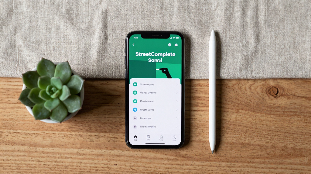
StreetComplete is a mobile app that enables users to contribute to OpenStreetMap by completing simple, targeted quests. This approach aims to improve map accuracy and increase community involvement. The project is gaining recognition for its user-friendly design and potential to expand mapping efforts.
StreetComplete is a mobile app that allows users to contribute to OpenStreetMap by completing simple, targeted mapping tasks called quests. This development is part of a broader effort to make map editing accessible to a wider audience, thereby enhancing map accuracy and detail. The project is currently gaining traction among both casual mappers and dedicated contributors.
The app presents users with small, specific questions—such as the name of a building, the type of road surface, or the presence of bike lanes—based on their location. When users answer these questions, the app automatically updates the map data in OpenStreetMap. According to the developers, this approach lowers the barrier to entry for map editing, which traditionally requires familiarity with complex editing tools.
Since its launch, StreetComplete has been downloaded thousands of times, with a growing community of contributors worldwide. The app integrates directly with OpenStreetMap’s database, ensuring that user inputs are immediately reflected on the map after verification. Developers claim this method can significantly accelerate the process of improving map detail, especially in underserved regions.
Why Simplified Mapping Matters for OpenStreetMap
This initiative matters because it democratizes map editing, enabling more people to participate without technical expertise. As a result, OpenStreetMap can benefit from increased data accuracy and coverage, particularly in areas where professional mapping efforts are limited. Enhanced maps support a wide range of applications, from navigation to disaster response, making this development relevant for diverse users.
Furthermore, by engaging everyday users, StreetComplete helps foster a sense of community ownership over geographic data, encouraging ongoing contributions and long-term map improvements.
As an affiliate, we earn on qualifying purchases.
Background: Making Map Editing Accessible and Inclusive
OpenStreetMap, launched in 2004, relies on volunteer contributors to build a free, editable map of the world. While the platform has grown significantly, editing traditionally required familiarity with complex tools like JOSM or iD editors, which could be a barrier for casual users. Several projects have aimed to simplify editing, but StreetComplete stands out by focusing on small, manageable tasks that can be completed quickly and easily via a mobile app.
Since its initial release, the app has been praised for its intuitive interface and effectiveness in filling data gaps, especially in regions with limited mapping activity. The project is part of a larger movement to make open data and collaborative mapping more inclusive.
“Our goal is to lower the barriers to contributing to OpenStreetMap by making the process as simple and engaging as possible.”
— Alex Barth, StreetComplete developer
As an affiliate, we earn on qualifying purchases.
Unanswered Questions About Data Quality and Community Impact
It is not yet clear how the accuracy of user-submitted data will compare to expert editing over the long term. Additionally, the extent to which StreetComplete will sustain active user engagement remains to be seen, especially in regions with low smartphone penetration or limited internet access.As an affiliate, we earn on qualifying purchases.
Next Steps for Development and Community Adoption
Developers plan to introduce new quest types, improve app usability, and enhance data validation processes. They also aim to expand outreach to underrepresented regions to boost global participation. Monitoring the app’s impact on map quality and community growth will be key in the coming months.
As an affiliate, we earn on qualifying purchases.
Key Questions
How does StreetComplete differ from traditional map editing tools?
StreetComplete offers a simple, question-based interface that allows users to contribute small pieces of data quickly, without needing advanced editing skills or software.
Can anyone contribute using the app?
Yes, the app is designed for casual users and does not require prior map editing experience. Anyone with a smartphone can participate.
How is data accuracy ensured with user contributions?
The app includes validation mechanisms, such as multiple users confirming the same data point, to maintain quality. However, long-term assessments of data accuracy are ongoing.
What regions are currently benefiting most from StreetComplete?
While the app is used globally, it has seen significant activity in regions with limited existing mapping data, including parts of Africa, Asia, and Latin America.
What are the future plans for StreetComplete?
Developers aim to add new quest types, improve user experience, and increase outreach efforts to boost global participation and map quality.
Source: hn
Fall Picks
fall essentials
As an affiliate, we earn on qualifying purchases.